


The product's shade and actual color may differ from what is shown in the picture, as the images are for illustrative purposes. The product description is general and may not include all the product's features.
Garmin 010-C0866-00 navigator map Road map
212,90 €
212,80 €
Monthly payment from 6.38 €
947710 010-C0866-00
0753759070465
Shipping 1-3 b.d.
You are interested in this product?
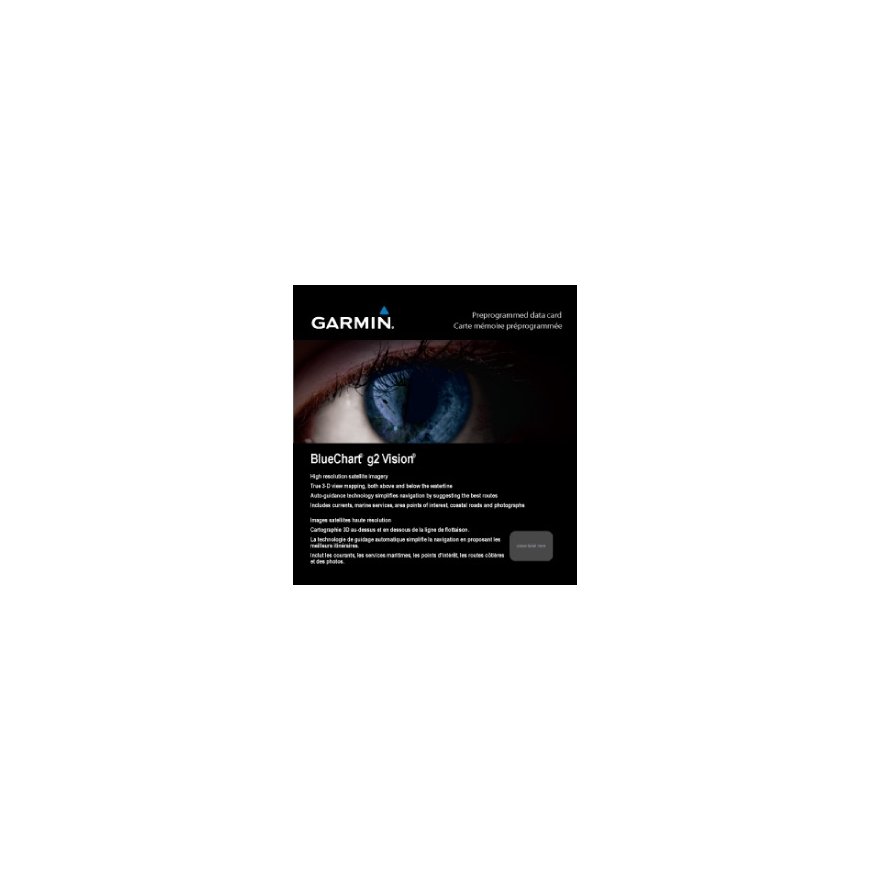
- Shaded depth contours, coastlines, spot soundings, navaids, port plans, wrecks, obstructions, intertidal zones, restricted areas and IALA symbols.
- Seamless transitions between zoom levels and more continuity across chart boundaries.
- High resolution satellite imagery for a realistic view of the land and water.
- Aerial photos of ports, harbors, marinas, waterways, navigational landmarks and other POIs.
- Auto Guidance technology searches chart data to suggest the best passage to a destination.
- MarinerEye view 3-D perspective for a quick, easy position fix.
- FishEye view 3-D perspective for an underwater view of the sea floor.
- Safety Shading* enables contour shading for all depth contours shallower than your defined safe depths.
- Fishing Charts* to scope out bottom contours and depth soundings with less visual clutter on the display.
- Plan and organize routes from your computer with HomePort™.
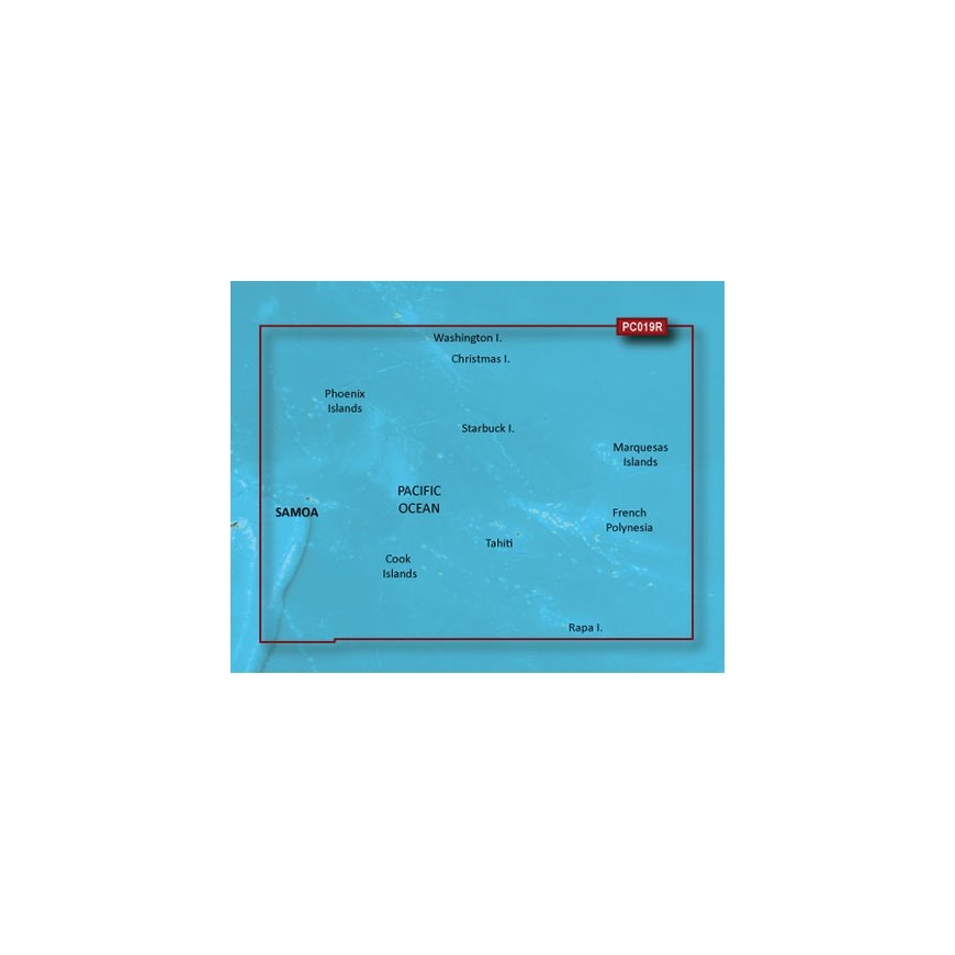
Coverage
General coverage of the coasts of Tonga, Samoa, American Samoa, French Polynesia, Kiribati, and the Cook Islands. Included in this overall general coverage are numerous detailed charts covering areas such as Nuku'alofa, Ton., Apia, Sam., Pago Pago, Am. Sam., Tahiti, and Bora Bora.
Other features | |
| Geographic coverage | Polynesia |
30 other products in the same category:


© 2026 Frogest OÜ. All right reserved.


